


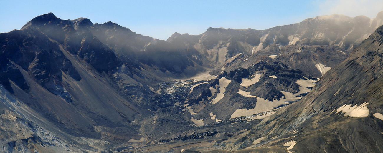


Most residents of Oregon and Washington remember when Mount St. Helens (also known for her symmetrical shape pre-eruption as the Mount Fuji of America) blew her top. An earthquake in 1980 preceded the eruption, which blanketed towns hundreds of miles away in volcanic ash and permanently altered the mountain's face. Plants and animals in the blast zone were destroyed instantly, as were 57 people -- scientists and residents.
Life returned to Mount St. Helens sooner than experts expected, and today there are once again green trees, sight-seeing guests and crowds of squirrels. For the last two decades visitors have been able to visit the volcanic cone and surrounding area for an up-close look at the damage and recovery process.
In September 2004, earthquakes and emissions led to the closure of routes to the top. Since then, some areas farther from the summit have opened again to campers and hikers, though sinister rumblings as recently as July of 2005 kept mountain trails off-limits for some time. The volcanic advisory ratings (which determine what trails are open) vary based on constant monitoring, which is fine-tuned enough to make it possible to predict when an eruption is imminent.
Even without access to the cone itself it is still possible to watch for steam emissions from the safety of Coldwater Ridge Visitor Center, or get closer to the volcano at the Johnston Ridge Observatory. Mount Margaret's back-country recently reopened to campers and hikers with the appropriate permits. For short hikes in the 1980 blast area, visit Meta Lake on the east side of the monument and take along a flashlight to explore the dark recesses of Ape Cave, a lava tube formed 2,000 years ago.
Mount St. Helens is a two-hour drive south of Seattle and an hour north of Portland, Oregon.


